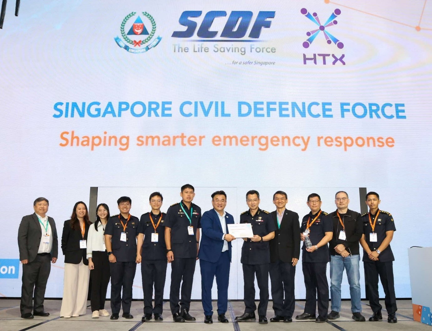
 Xponents behind the creation of OTM2 receive Esri Singapore’s 2025 GeoInnovation Award with project teammates from the Singapore Civil Defence Force. They are Josiah Lau (first from left), Jiang Wan Qi (second from left) and Ling Kok Yong (fourth from right) of HTX’s Civil Defence Programme Management Centre, and Clara See (third from left) and Gary Lim (second from right) of HTX’s xData unit.
First responders from the Singapore Civil Defence Force (SCDF) will soon have greater real-time knowledge of on-site terrains and risks when attending to emergencies thanks to the OTM2 project, which was jointly developed by SCDF and HTX’s Civil Defence Programme Management Centre (CDPMC) and the xData Geospatial Development team.
The project recently clinched Esri Singapore’s 2025 GeoInnovation Award, which recognises highly innovative uses of geospatial technology in shaping the nation's future.
“This prestigious award stands as a powerful testament to the exceptional collaboration between SCDF and HTX. It also demonstrates how we’ve been able to combine our expertise and work towards a shared goal as one Home Team,” Ling Kok Yong, Director of HTX’s CDPMC commented.
At the award ceremony on 28 February 2025, Jiang Wan Qi, an engineer from HTX’s Emergency Operations Systems, CDPMC, took the stage with her SCDF counterpart to share OTM2’s promising features.
Powered by GIS technology, OTM2 is aimed at sharpening frontliners’ situational awareness and enhancing their safety during emergency missions using an advanced geospatial database that will provide them with essential terrain and premise information through a mobile application.
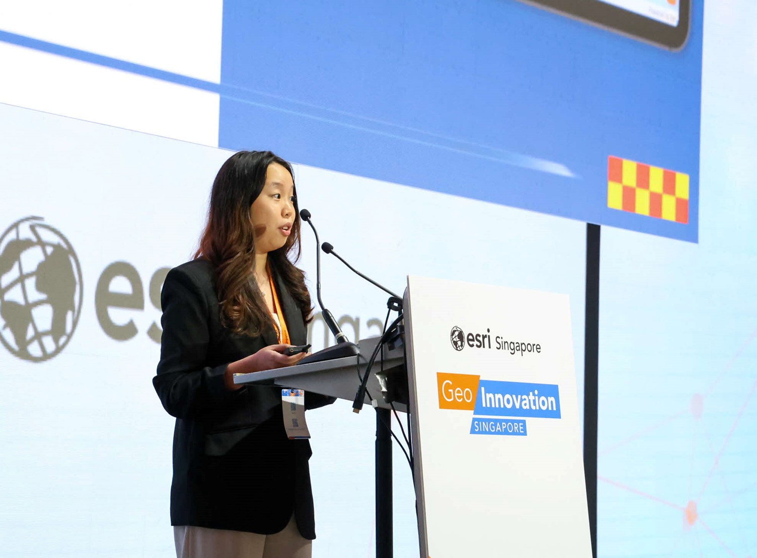 Jiang Wan Qi, an Emergency Operations Systems Engineer from HTX’s CDPMC, presents the details of the winning OTM2 project to the audience at Esri Singapore’s 2025 GeoInnovation Awards ceremony. (Photo: HTX)
The database is expected to contain details right down to the exact location of a fire and rescue equipment on each level of a large multi-storey building.
What this means is that if a fire incident breaks out in a sprawling shopping mall, firefighters arriving at the scene would be able to locate the closest water riser inlet or fire staircase to the affected unit in the shortest time possible.
Currently, the collection of such data requires the manual input of frontliners and can be a painstaking process. OTM2’s mobile application promises to digitalise this and facilitate instantaneous sharing of updates with all first responders.
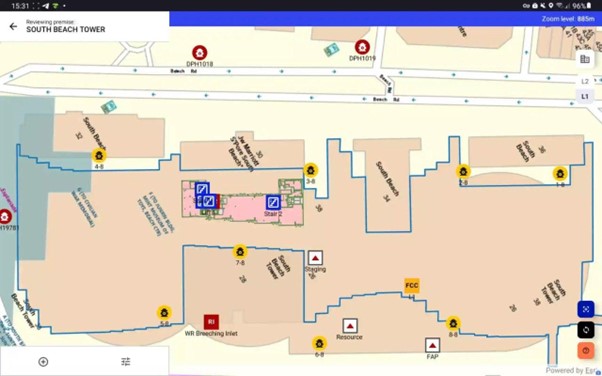 A mock-up of how the OTM2’s interface will look like, with all risks and mitigation data of a selected building plotted on an interactive map for easy visualisation (dummy data used). (Credit: OTM2 Project Team)
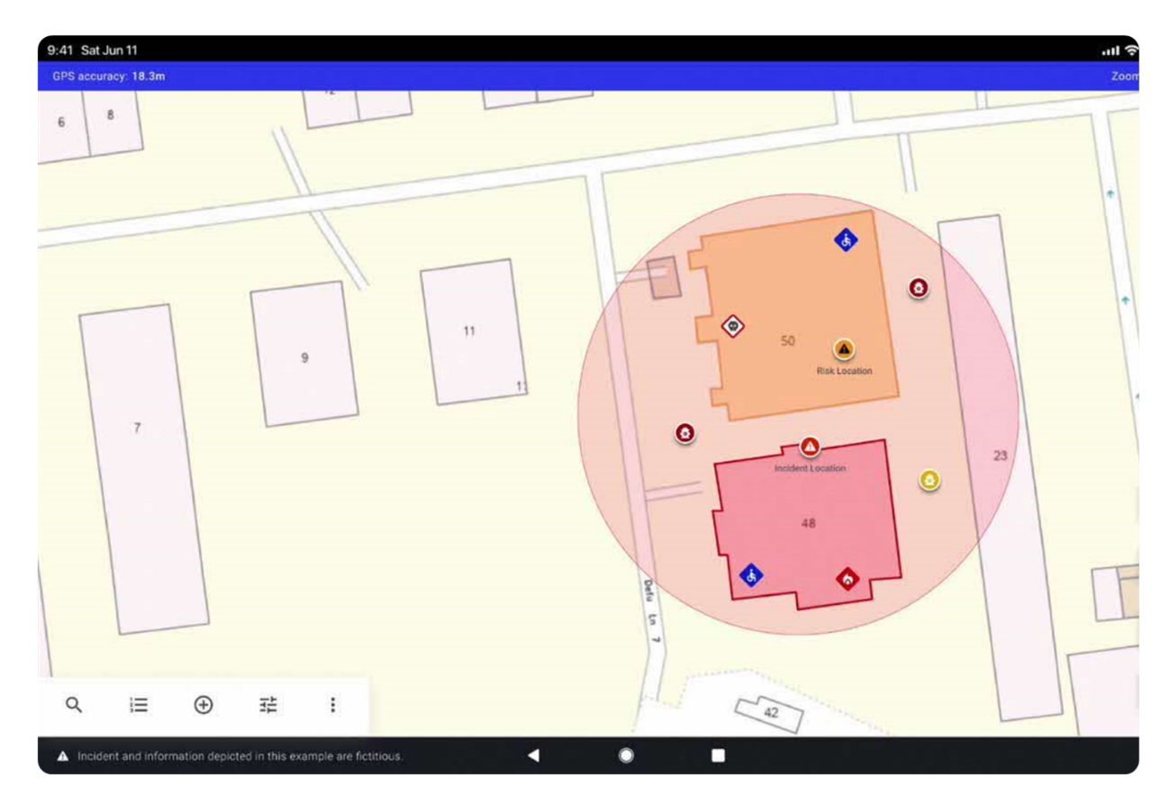 The OTM2 could provide an Envisioned Buffer Analysis (shaded circle) that flags out nearby risks – such as locations which store or process hazardous materials – and recommend mitigation steps. (Credit: OTM2 Project Team)
The system is expected to be launched in the second quarter of 2025.
“I’m immensely proud of the project team under Wan Qi’s leadership. Their work on OTM2 has shown significant potential in enhancing SCDF’s emergency response capabilities and supporting their mission of protecting and saving lives and property,” said Kok Yong.
When asked about her experience leading the project, Wan Qi shared how proud she was of her CDPMC and xData teammates who have been tireless throughout.
“The team has played an instrumental role in turning the wishes of our Home Team end users into reality, delivering a GIS technology-based application they desired. I am thankful to every single person who has contributed to this,” she said.
But the drive for excellence will not stop even after the application is launched. In her presentation, Wan Qi shared that OTM2 will eventually have integrated AI capabilities that will support more sophisticated analytical calculations such as determining optimal locations for deployment set-ups.
In essence, HTX will continue to leverage its tech expertise to refine the OTM2, and to empower and augment the SCDF’s frontline operations. This is particularly important because Singapore’s urban landscape is constantly evolving due to the emergence of new types of premises, technologies and industries.
Ng Chee Koon, Senior Assistant Director of SCDF’s Operations Development, commended the excellent relationship between the cross-department project members thus far.
“The partnership between SCDF and HTX in this project has been amazing and very fruitful. Together, we’re excited to see how OTM2 can effectively steward future emergency response capabilities,” he said.